Trending

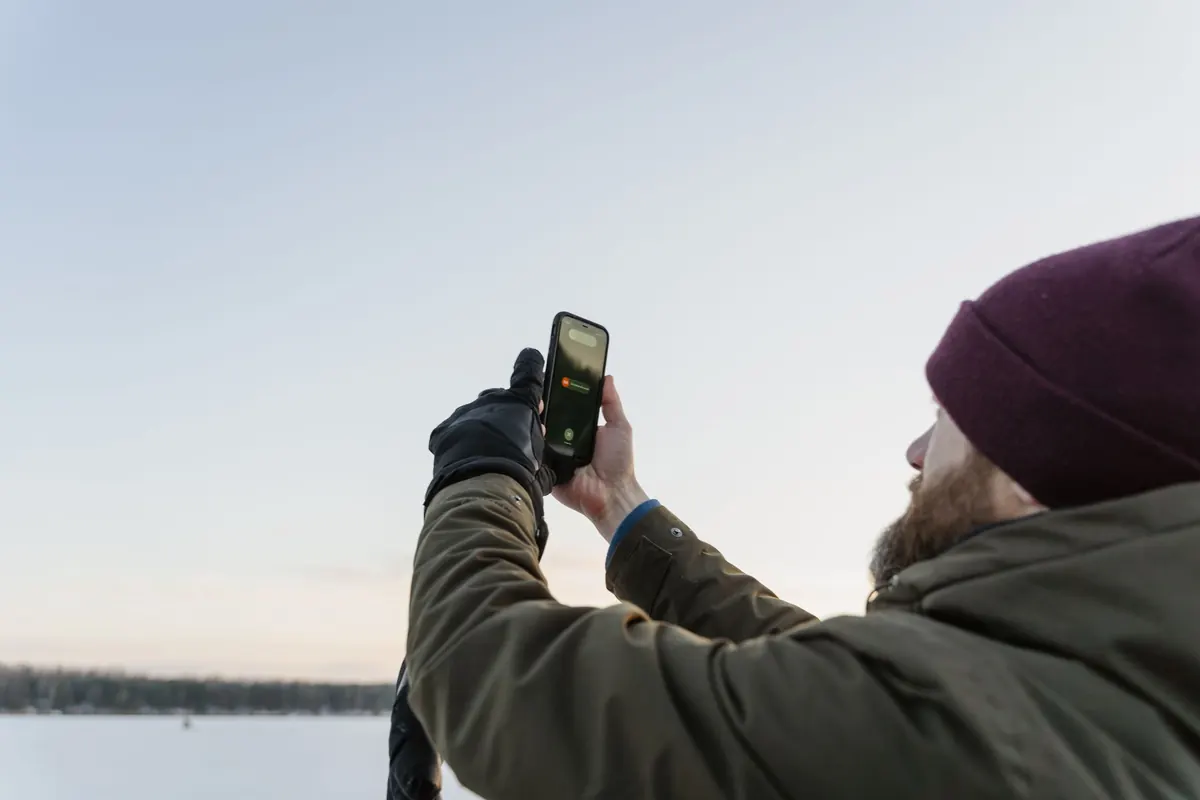
You check your phone at seven in the morning. It promises a dry afternoon. By two o'clock you are standing under a slate-grey cloud in a car park, watching the first fat drops hit the windscreen. The national forecast, meanwhile, said "scattered showers" and — irritatingly — it was right.
Neither source lied. They were answering slightly different questions. Knowing what each one is actually good at makes it much easier to decide who to trust, and when to ignore both and look out of the window instead.
A weather app is not a forecaster. It is a screen. Behind that screen sits the output of one or more computer models of the atmosphere, chosen by whoever built the app and refreshed on their schedule rather than yours.
Some apps blend several models and show you the average. Others lean heavily on a single global model. The Met Office app draws on its own high-resolution UK model, which works on a grid of roughly a kilometre or two, and combines that with forecaster input and official warnings. Most global models run at something closer to ten to twenty-five kilometres.
That difference is not a technicality. It decides whether a model can begin to see an individual shower, or only knows that the air is unstable enough for one to form somewhere across a large area. Everything else follows from it.
None of this makes consumer apps bad. For a fast look at the next few hours, they are often excellent.
The weakness is not accuracy so much as false precision. A figure like "78 per cent chance of rain at 15:00" suggests a level of certainty the underlying model cannot support at the scale of your street.
British showers are small, brief and awkward. Individual cells might be a few kilometres across and last twenty minutes before collapsing. A global model that cannot see them will do one of two things: smudge them into a broad band of "light rain" across a whole county, or miss them entirely and give you a sunny icon you will resent by mid-afternoon.
A high-resolution model does better. It can place showers in roughly the right area and at roughly the right time of day — but it still cannot tell you that the downpour will hit your street at 14:20 and stop by 14:45. That is beyond forecasting, not merely beyond your app.
So when a forecast says "showers", read it as a statement about your wider area and your whole afternoon, not about a ten-minute window. Plan for one, and be pleasantly surprised if it misses.
Frontal rain is a different problem, and generally a friendlier one. Weather fronts are large, organised features, hundreds of kilometres long, and the models handle them comparatively well. If rain is due from a front, rain is very likely.
What slips is timing. A front arriving two hours early turns a dry commute into a soaking; two hours late ruins the afternoon you had planned. Watch the sequence rather than a single number. The wind backing or veering as a front passes is often more reliably timed than the first spot of rain. If the wind is forecast to swing round at four, treat that as the anchor and the rain as an approximate companion.
Point forecasts are point estimates. A forecast labelled "Manchester" or "Cardiff" is a value for a grid square, and the weather inside that square can vary a great deal.
Think about the landscape you live in. West-facing hills and coasts — west Wales, Cumbria, the Highlands — squeeze rain out of south-westerly winds, so the same front can deliver a wet morning on one side of a ridge and a dry one on the other. Coastal areas get sea breezes in summer that an inland forecast misses. Towns run a little warmer than the surrounding fields after dark. On still autumn and winter nights, cold air pools in valleys and brings fog that a regional forecast simply will not mention.
This is where a human forecaster earns their keep. Official forecasts and warnings are written with an awareness of these effects, and warning areas are drawn around real geography. It is one reason a national service can tell you more in a paragraph than an app can tell you in icons.
If you adopt only one habit, make it this one. Run through it before anything that matters — a journey, a match, a day on the hills.
Use apps for what they are good at: a quick glance, the next couple of hours, hourly temperature, radar. Use official forecasts and warnings for decisions, especially anything involving travel, exposed ground or other people relying on you.
Treat precision with suspicion. A minute-by-minute rainfall graph looks authoritative, but it is drawn from a model whose smallest unit is far larger than your garden. Round it up into a sensible statement — "likely wet later" beats an exact-looking percentage.
And keep a little humility about the whole business. Showers in a westerly airstream will always be partly a lottery, and no forecast can tell you which street gets the one that matters. Check the official picture, glance at the radar, then dress for the day you might actually get. That combination — a reliable broad forecast, sharp
Photo: Tima Miroshnichenko / Pexels