Trending

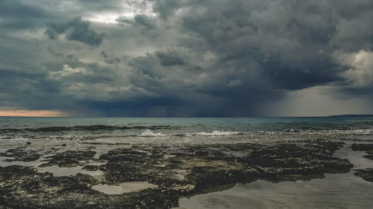
October to March is when the UK's weather does its full repertoire. Low-pressure systems spin in off the Atlantic, the jet stream steers them over us, and an ordinary windy Tuesday turns into a week of cancelled trains, closed bridges and bins rolling down the street. Plenty of those days are still mild and unremarkable. But between the clocks going back and the first daffodils, the odds of a named storm, a red warning or a flooded road rise sharply — and the households that cope best are the ones who did a little planning back in September.
The driving force is the jet stream, the ribbon of fast-moving air several miles up that carries Atlantic lows towards north-west Europe. Through summer it tends to sit further north and run weaker. As autumn arrives, the contrast between cold polar air and warm tropical air sharpens, the jet stream strengthens, and it starts to dip and buckle across the Atlantic. Each buckle can scoop up a low-pressure system and deepen it before flinging it at Scotland, Ireland, Wales, northern England or — on the right track — the whole country.
Two things are worth remembering about timing. First, storms arrive in clusters. You can get three named systems inside a fortnight, then five quiet weeks. Second, early-season storms catch the trees still in leaf, which gives a gale far more to grab hold of. That is one reason October and November often bring more power cuts than the depths of January. And the season does not fade politely: the last really disruptive spell of a winter has a habit of arriving in February or March, when the jet stream is at its strongest and most people have stopped paying attention.
The Met Office and Met Éireann have run a joint storm-naming scheme since 2015, with the Dutch met service KNMI joining in recent seasons. Names are suggested by the public, drawn up alphabetically and alternate between male and female. Letters that rarely start a name — Q, U, X, Y and Z — are skipped to keep the list practical.
A low gets a name when it is expected to cause medium or high impacts: the sort of disruption that justifies an amber or red warning, or orange and red in Ireland. That distinction matters. A named storm is a statement about likely impact, not about wind speed. A slow-moving system that empties a month of rain onto one river catchment can earn a name with barely a gust, while a fierce but short-lived gale well out at sea may never be named at all.
Systems named by other European agencies keep their original names to avoid confusion, and Atlantic hurricanes that have transitioned into ex-hurricanes do the same. Now and then a name is retired after a particularly damaging event and replaced on the following season's list.
If you remember one thing about names: they are a shared shorthand for "this one matters", not a ranking of how hard it will blow.
Warnings are impact-based. Forecasters look at what the weather will do to roads, railways, power lines and property in a specific area, then issue a colour for a defined time window. The colours are not a proxy for wind speeds, and they can be upgraded, downgraded or extended as a system evolves.
Warnings also come by hazard — wind, rain, snow, ice, fog, thunderstorms — and one day can carry a yellow rain warning alongside an amber wind warning. Read the map and the timing, not just the headline colour.
Wind gets the drama, but water does most of the damage. Flood risk often peaks after the wind has dropped, because rain that fell on saturated ground is still working its way into rivers and becks. Coastal flooding is different again, driven by a combination of high tides, low pressure and onshore winds pushing the sea inland.
Free flood warnings are available across the UK, issued by the Environment Agency in England, Natural Resources Wales, the Scottish Environment Protection Agency and DAERA in Northern Ireland. Sign up for the area where you live and the area where you work. It takes a couple of minutes, and alerts arrive for your postcode rather than the whole county. If there is any chance you sit on a floodplain, check the long-term flood risk map before winter, dig out your insurance documents, and decide now which two or three things you would move upstairs first.
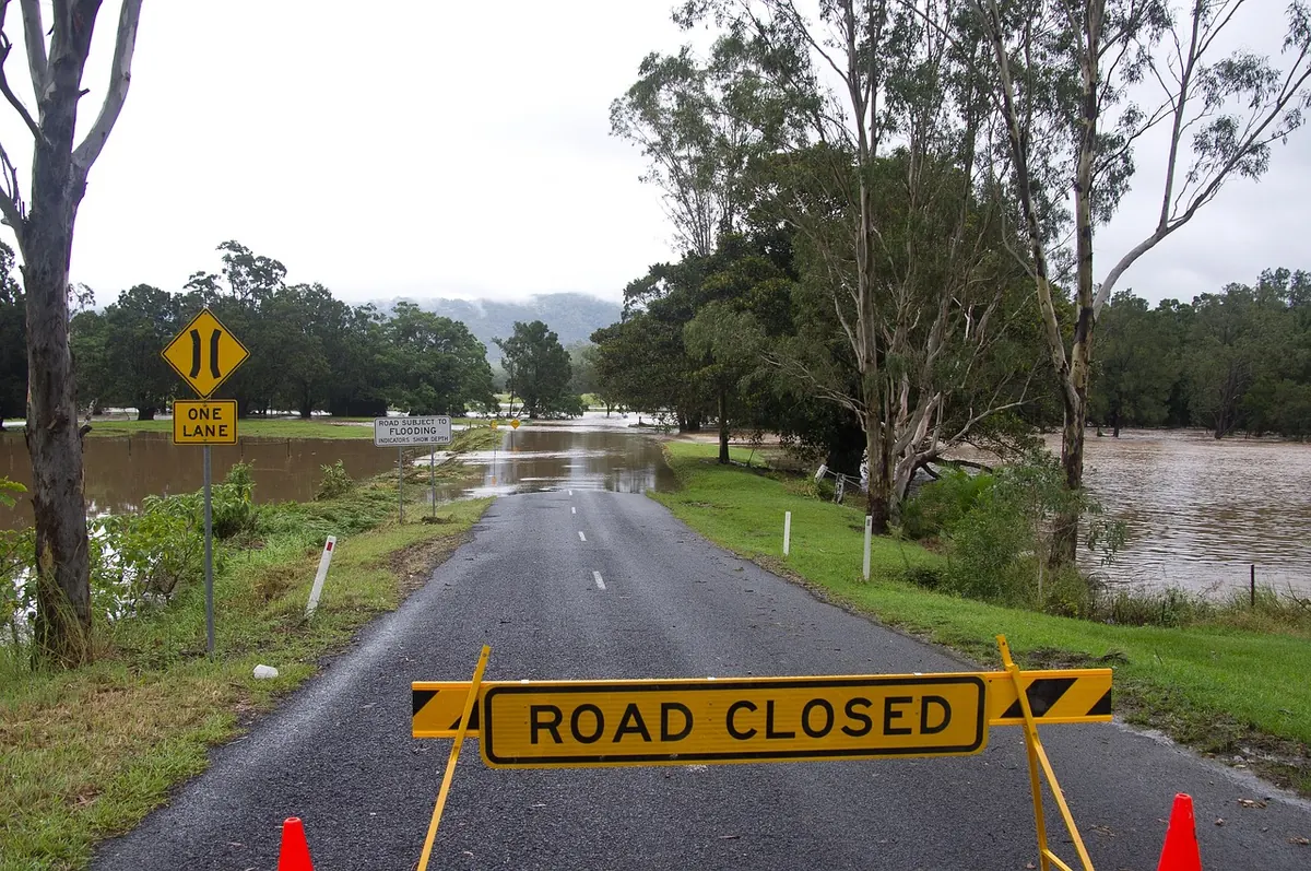
The danger does not end when the wind drops. Treat any downed cable as live, keep well back and report it — never try to move it. Never drive through floodwater; even shallow, fast-moving water can float a car, and it conceals missing drain covers and debris. Photograph any damage before you clear it up, which makes an insurance claim far less painful. Use torches rather than candles, and never run a generator, camping stove or barbecue indoors, in a garage or in a tent. The carbon monoxide risk is real, and it kills quietly.
Set aside an hour in early October. Sign up for flood and weather alerts for your postcode. Put a torch, spare batteries, a charged power bank, a first-aid kit and copies of key documents somewhere you can find in the dark. Agree with your household who checks on whom, and where you would go if the power failed for a day. Then get on with your winter.
Seasons vary enormously. Some produce barely a handful of named storms; others rattle through the alphabet by February. You cannot choose which one you get, but you can be the household that already knows where the torch is.